Measure it. Fly it. Film it.
3D mapping, FPV fly-throughs, aerial photography, and videography — FAA Part 107 licensed. Chicago & Wisconsin.
FAA Part 107 Licensed
Centimeter-Level Accuracy
Quote Within 24 Hours
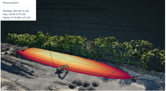
Survey & Mapping
RTK drone mapping turns raw flight data into measurable deliverables — georeferenced orthophotos, surface models, and accurate volume calculations. Know your stockpile numbers before the invoice, track construction progress week over week, or generate topographic data for land planning.
Ideal for: Aggregate yards and quarries, construction sites, civil engineers, land developers, and utility companies tracking site changes over time.
FPV Fly-Throughs
First-person view drone footage can be shot in one continuous, uncut pass — through the front door, up the stairs, out the back. FPV is the differentiator that makes listings and property tours stop the scroll.
Ideal for: Residential and commercial real estate listings, event venue showcases, hospitality marketing, and any property that needs to be experienced, not just seen.
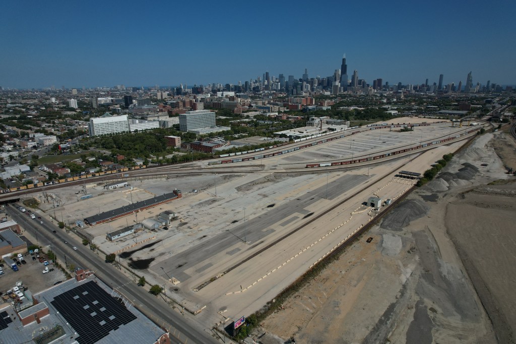
Aerial Photography
4K stills from a DJI FC3411 camera — sharp, clean, and ready to use. Aerial photography shows the full picture of a property, parcel, or job site in a single frame. Every image is delivered ready for MLS listings, print brochures, and social media.
Ideal for: Real estate listings, vacant land and commercial sales, construction site documentation, and brand marketing.
Videography
Cinematic aerial video for real estate, commercial marketing, and events. Three years of photo and video editing experience means every reel is cut, color-graded, and delivered — not just raw footage dropped in a folder.
Ideal for: Property listing reels, commercial brand videos, event coverage, and marketing campaigns that need footage that actually gets watched.
Ready to get accurate data from your site?
Tell me about your project — I’ll get back to you with a quote.
